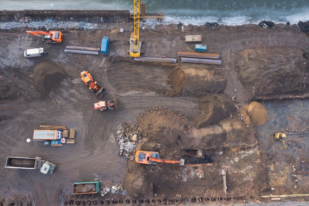
Orthomosaics give us the ability to provide you and your teams with highly detailed images over a large area by rendering multiple images together, providing distance measurements, longitude/latitude coordinates, and imagery.
3D Models and digital twins can be generated for work sites, and structures.
Topographic Surveys can be generated to provide Digital Elevation Models,
Surface Contour Maps, Terrain and Plant Health.
FAA Part 107 Certified
Projects